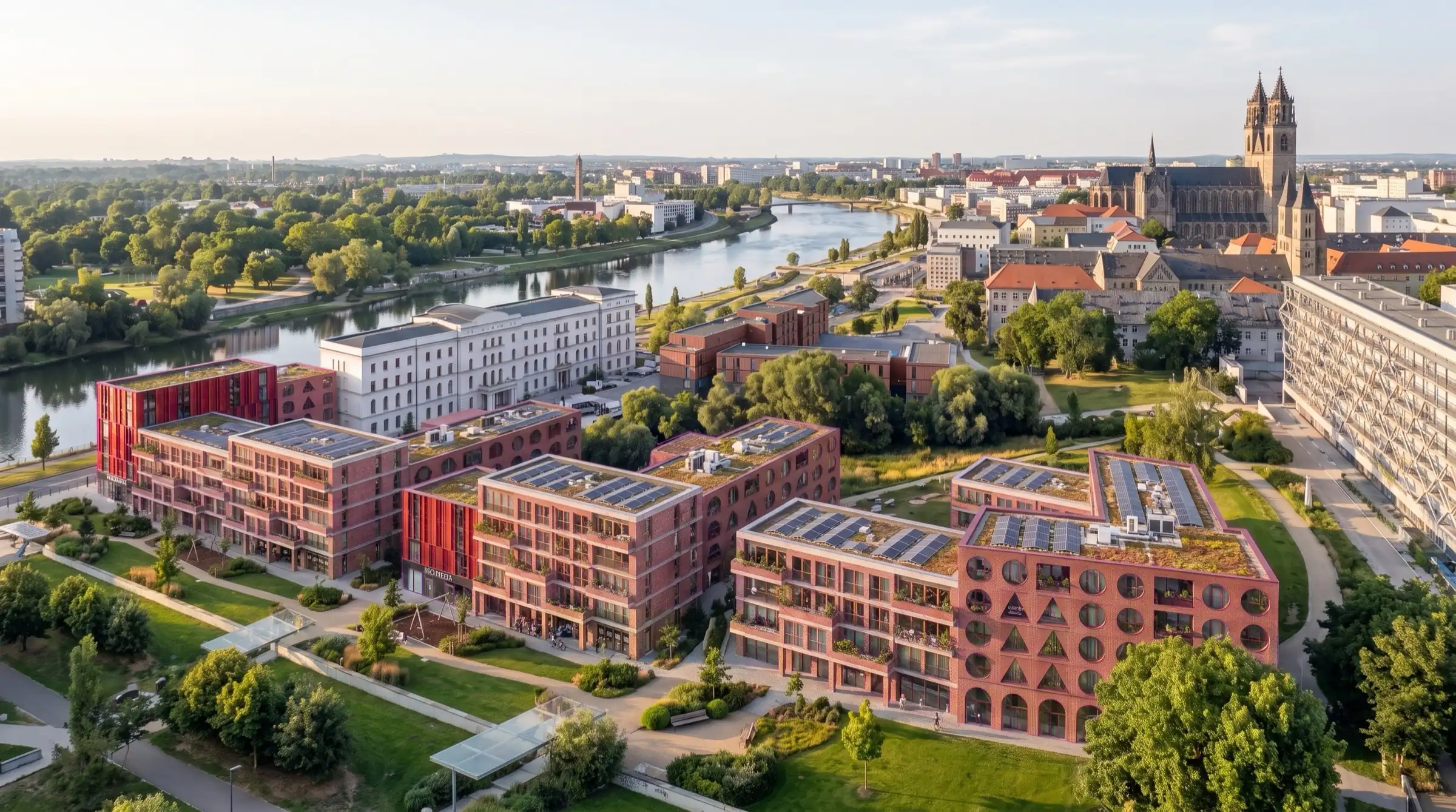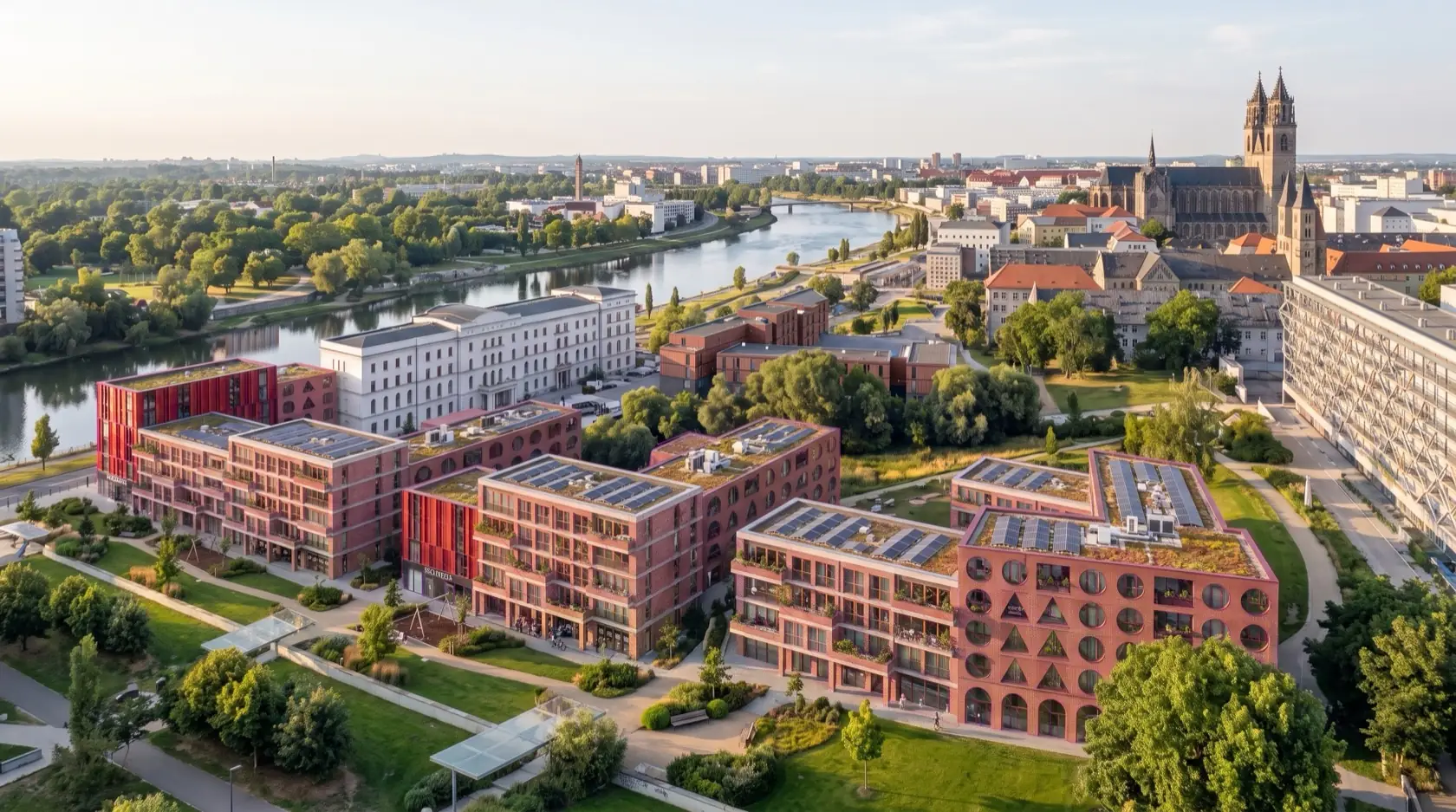
Aerial view of the planned district in Magdeburg, with the Elbe river and Magdeburg Cathedral in the background.
 EXPO REAL 2026 · Hall A3, Stand TB 25

From site to district vision. In 30 minutes.

At a real site in Magdeburg, the development of a digital feasibility study with Urbanistic and Pelicad is demonstrated.

RWTH Spin-off Award

Scientifically developed and tested as a spin-off.

19,600 m²
Planning area on the Elbe riverfront
15,160 m²
Floor area of the reference scenario
125
Units across four use types
30 minutes
from site to district vision
Used by architecture firms, urban planners and developers
Four dates

Four ways to get to know the workflow

Each date works on its own. Together they cover the full arc: understand it, try it yourself, then think it through.

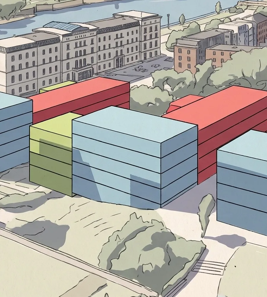
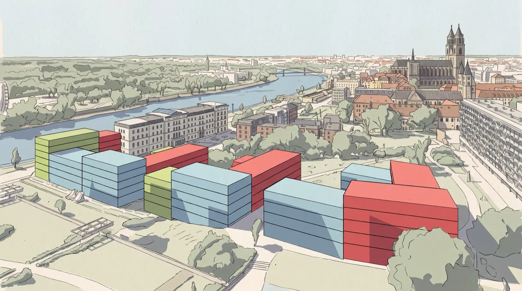
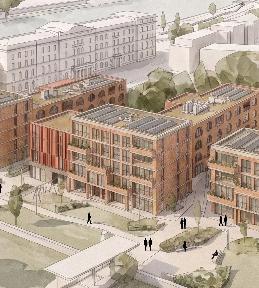
Sketch visualization of the planned district in Magdeburg, the starting point for the webinar's workflow.
Thu Sep 24 · 10:00–10:30 CEST · online

Webinar with Urbanistic

The complete workflow live, two weeks before the show.

  • Stefan Bernwieser, Urbanistic
  • Yannic Schwarz, Pelicad
  • 30 minutes including Q&A, free
Urbanistic
Register for free
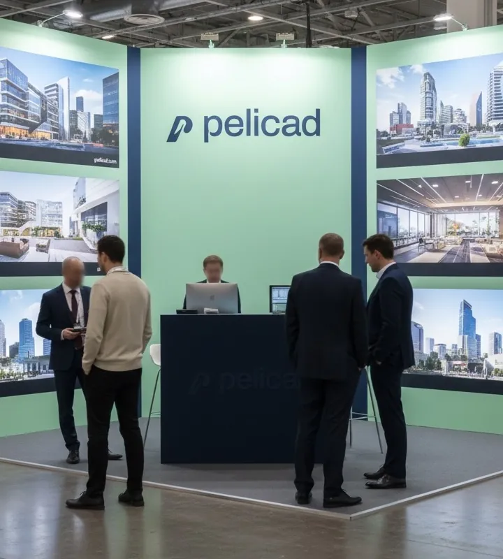
Pelicad trade fair stand with visitors at an industry event.
Challenge
Oct 5–7 · 30 minutes · Hall A3, Stand TB 25

Try it live at the stand

Your site, your vision, in 30 minutes.

  • A full study in 30 minutes
  • Live in Urbanistic and Pelicad
  • Just have fun with it
EXPO REAL
Pick a slot
Wine glass reading Invitation to the Apero in front of the Pelicad and EXPO REAL trade fair stand, with guests talking in the background.
Limited seats
Tue Oct 6 · 17:00–18:30 · Hall A3, Stand TB 64

Appero at ENVOLA

Short and easy: meet the people behind the study, over wine and bruschetta.

  • Predrinks before the other evening events
  • Meet the people behind the study
  • Wine, bruschetta, quick chats
ENVOLAUrbanisticTMWRK
Request access
Colour-coded massing model of the planned district in Magdeburg by use type.
Date to follow · online

Webinar recap

For everyone who couldn't make it to Munich.

  • The Magdeburg case in full
  • The most common questions from the show
  • Recording included
Urbanistic
Coming soon
For attendees

All four dates come with a shared onboarding offer from Urbanistic and Pelicad. We'll share the details at your appointment.

The workflow

Urbanistic runs the numbers. Pelicad shows what they look like.

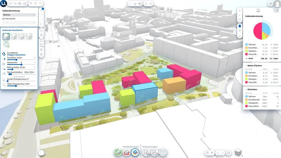
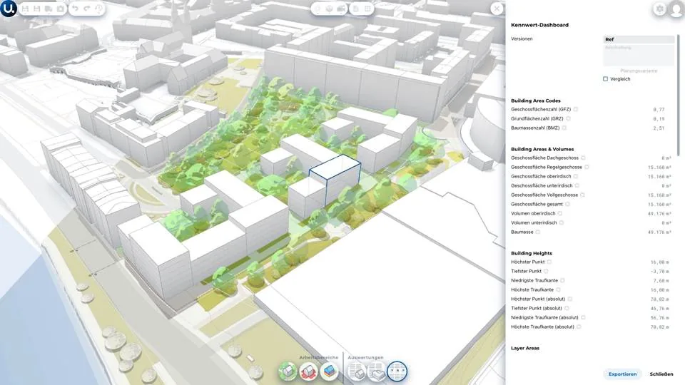
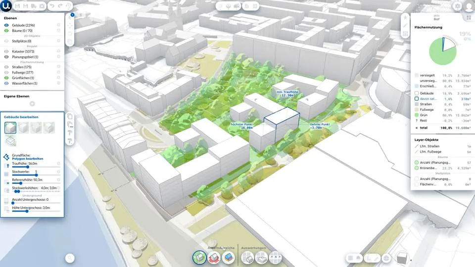
Four steps in the digital city model, then handover as a georeferenced IFC. Every number on this page comes from this exact run.
BasicsMassingUseKey figuresVisualization
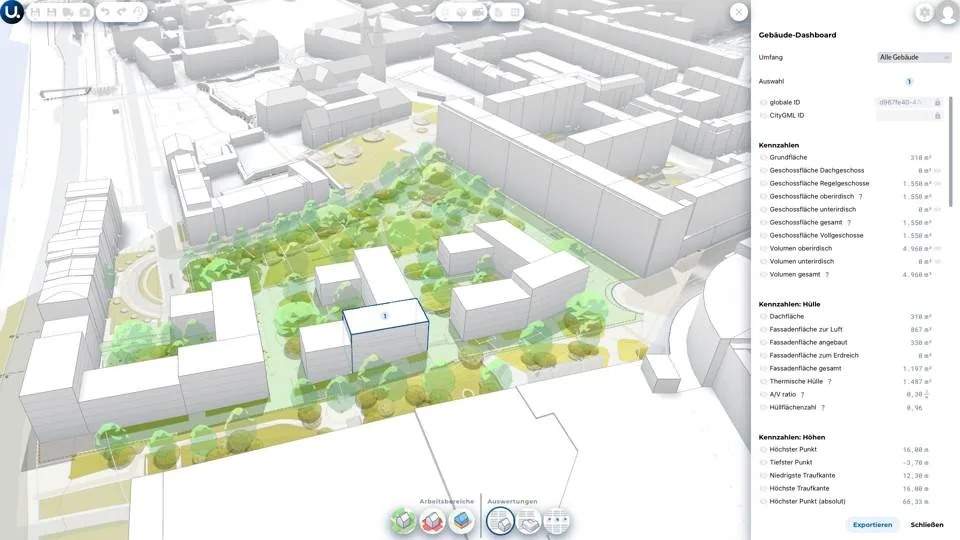
Urbanistic Screenshot of the Urbanistic interface showing building, cadastral and land-use layers in the digital city model of Magdeburg. Screenshot of the Urbanistic interface while editing a building's footprint, eaves height and storeys. Screenshot of the Urbanistic interface with colour-coded building use and a use-distribution chart. Screenshot of the Urbanistic key-figures dashboard with FAR, site coverage and other metrics.
01

Basics come straight from official data

Buildings, parcels, zoning plan and planning basics come together in the digital city model. No gathering cadastral extracts, no manually remodelling what's already there.

Step 05 · Pelicad

From cubes to an image, controlled rather than guessed

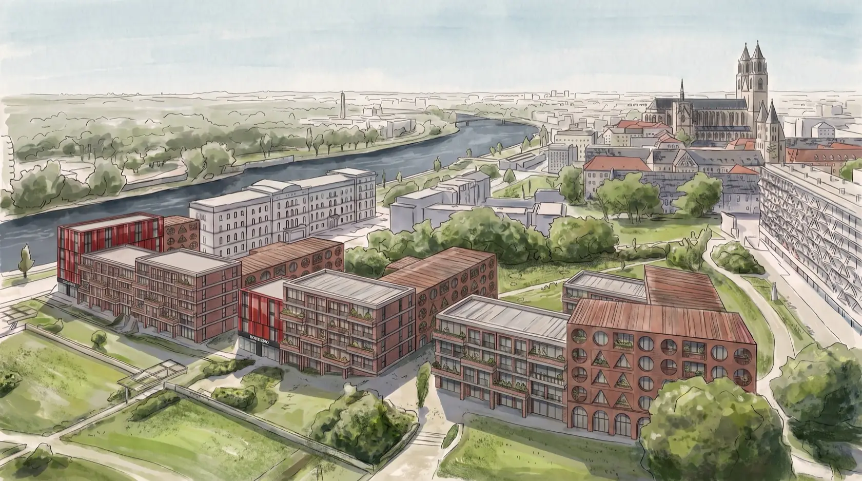
The massing model arrives as a georeferenced IFC and lands in the right spot in Magdeburg with no manual alignment. From there, it's refined in detailed sketch mode until the design holds up. Only then is it turned into a realistic image, in a controlled way, through detail definitions.

Colour-coded massing of the planned district in Magdeburg, set in its urban context. Refined sketch visualization of the planned district in Magdeburg with facade detail and open space. Realistic daytime visualization of the planned district in Magdeburg. CubesRealistic

Bring a site, we'll bring the data and the context.

An address is all it takes for a stand appointment. Everything else happens in the conversation.

Book a stand appointment